01
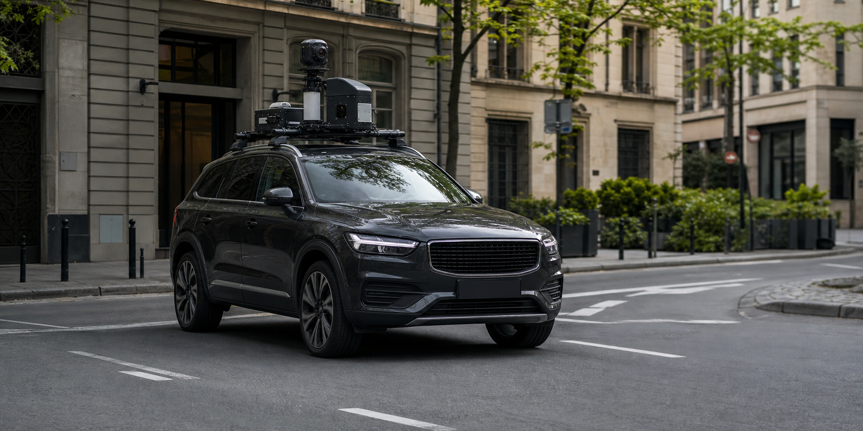
Mobile mapping
High-resolution 360° imagery and survey-grade positioning for roads, cities, and infrastructure corridors.
- Street-level imagery
- Road & pavement surveys
- Asset inventories
Mapping the world as it is
High-precision mobile and indoor mapping that transforms complex environments into clear, actionable digital data.
01 — WHAT WE DO
From streets and transport networks to complex indoor facilities, Chanterax captures reality with survey-grade precision—providing actionable spatial intelligence and high-quality data for AI training.
02 — CAPABILITIES
High-resolution 360° imagery and survey-grade positioning for roads, cities, and infrastructure corridors.
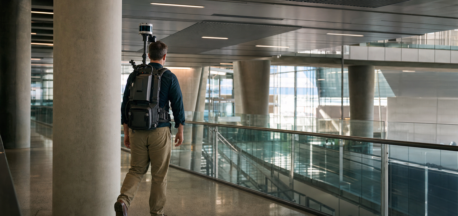
Rapid SLAM-based capture of buildings and complex facilities—without disrupting daily operations.
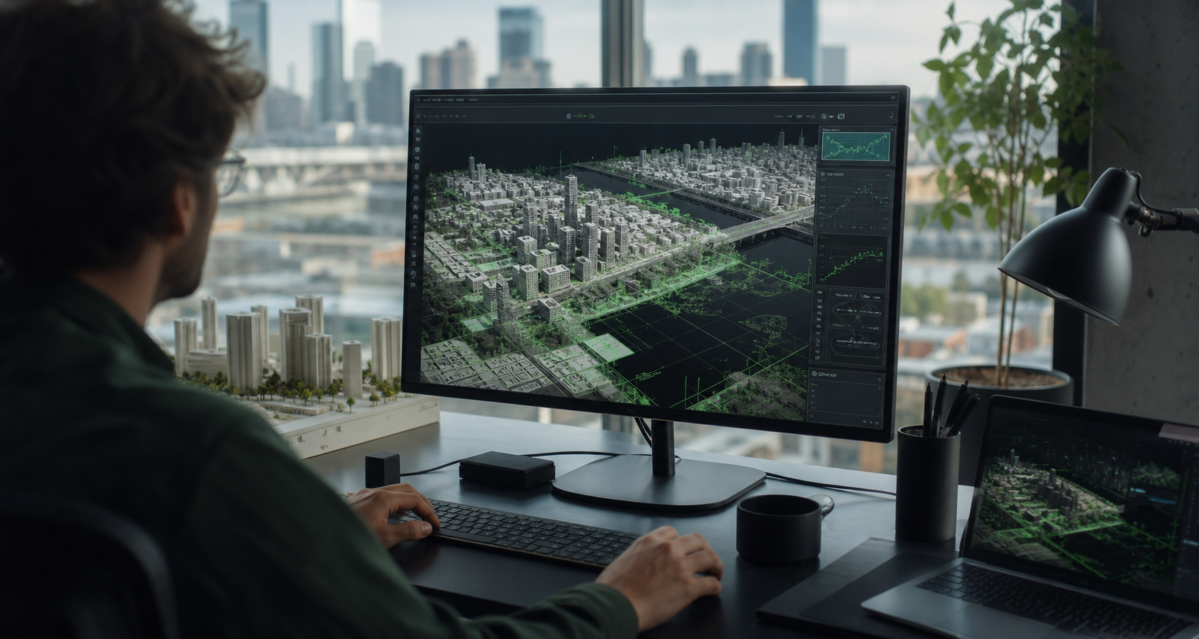
Reliable spatial foundations for living digital replicas of physical assets, both indoors and outdoors.
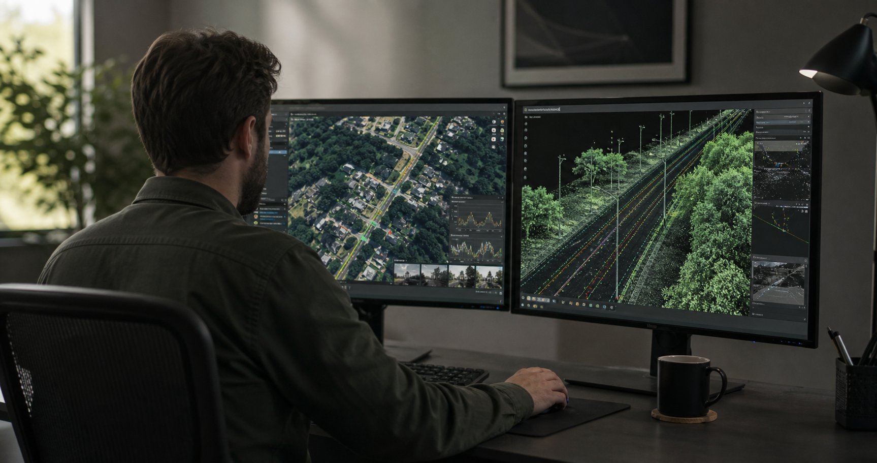
We create rich, quality-controlled geospatial datasets for AI training and turn captured data into structured, decision-ready information.
03 — OUR APPROACH
Advanced sensing meets intelligent processing in a workflow designed for speed, precision, and scale.
We deploy the right combination of 360° cameras, GNSS/INS, LiDAR-ready systems, and indoor SLAM.
Raw sensor data is aligned, cleaned, and processed through rigorous quality-controlled workflows.
AI-assisted analysis identifies assets and features, turning pixels and points into usable intelligence.
Data arrives in practical, GIS-ready formats that integrate smoothly with your existing systems.
04 — BUILT FOR THE REAL WORLD
05 — LET'S MAP WHAT'S NEXT